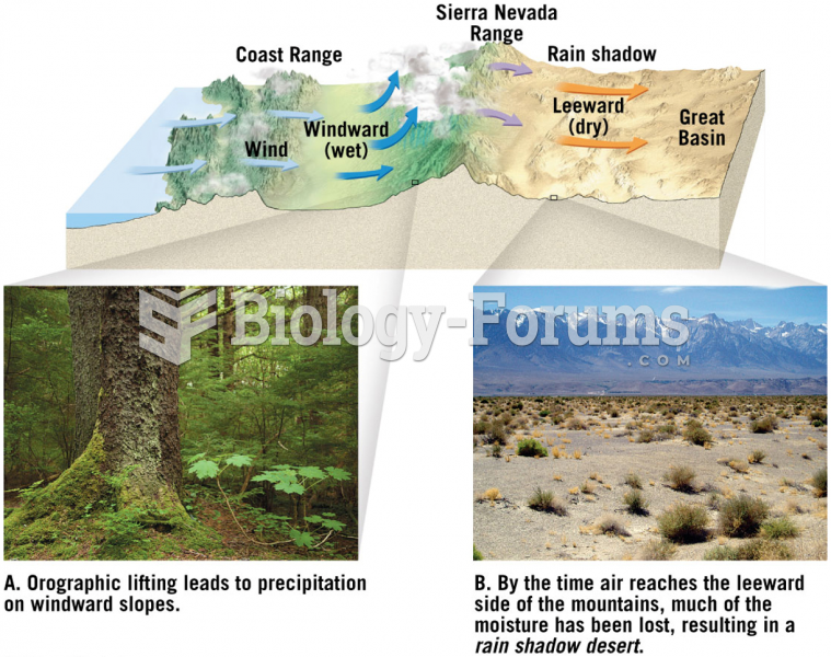
Orographic Lift
Orographic lift in the Southeast occurs mainly along the Appalachian Mountains. When air moves across the Ohio and Tennessee valleys, it encounters the Appalachian Mountains. Since the air has nowhere to go but up, it is forced up the side of the mountains. As the air rises, it begins to cool and condense, and depending on how moist the air mass is, showers or thunderstorms could form. After the air passes across the mountain range, it will begin to sink and dry out, and in some cases greatly warm the surrounding air. Many times during the Spring and Fall, squall lines or severe weather systems will cross the Appalachian Mountains and weaken significantly. The Appalachians in a sense act as a barrier against strong storm systems that head toward the Southeast from the central United States. In Georgia and Alabama at the south end of the Appalachians, winds from the south are most likely to cause clouds and rain as the air rises over the southern end of the mountains, and the mountainous areas of these states have the highest annual rainfall because of orographically-induced rain.
Frontal Lift
As mentioned in previous topics, fronts on weather maps represent the leading edge of either warm or cold air. Both kinds of fronts can provide lift for rain showers and thunderstorms, but they do not have the same characteristics as discussed below.
Cold Fronts

Cold air is more dense than warm air, and as a result, it undercuts and pushes the warm air vertically ahead of it as it moves. The slope of the cold air with a cold front is very steep, so the air is rapidly pushed up and can sometimes result in strong to severe thunderstorms if ample moisture and instability are available.
Cold front advancing
At first, it may seem counter-intuitive that warm fronts can provide lift; however, warm fronts can produce widespread precipitation. Unlike a cold front that undercuts the air at the surface, the warm air of a warm front will rise over the cooler air at the surface due to its lower density. This provides lift for clouds and showers to form along and ahead of the warm front. The slope of the cold/warm air in a warm front is not as steep as a cold front. As a result, thunderstorms are more likely to form with cold fronts rather than warm fronts.
 Quick Reply